
Winkelman topographic map
Interactive map
Click on the map to display elevation.
About this map
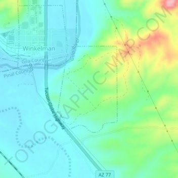
Name: Winkelman topographic map, elevation, terrain.
Location: Winkelman, Pinal County, Arizona, United States (32.97481 -110.76756 32.98792 -110.75678)
Average elevation: 622 m
Minimum elevation: 584 m
Maximum elevation: 739 m