
Furnace Creek topographic map
Interactive map
Click on the map to display elevation.
About this map
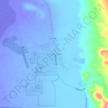
Name: Furnace Creek topographic map, elevation, terrain.
Location: Furnace Creek, Inyo County, California, CA 92328, USA (36.44160 -116.88620 36.48160 -116.84620)
Average elevation: -27 m
Minimum elevation: -80 m
Maximum elevation: 142 m