
Mashal topographic map
Interactive map
Click on the map to display elevation.
About this map
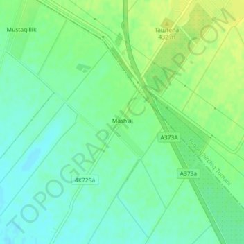
Name: Mashal topographic map, elevation, terrain.
Location: Mashal, Urta Chirchiq Tumani, Tashkent Region, Uzbekistan (41.17448 69.40000 41.18270 69.40715)
Average elevation: 424 m
Minimum elevation: 415 m
Maximum elevation: 433 m