
South District topographic map
Interactive map
Click on the map to display elevation.
About this map
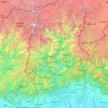
Name: South District topographic map, elevation, terrain.
Location: South District, South Sikkim District, Sikkim, India (26.69333 87.77667 27.97333 89.05667)
Average elevation: 2,676 m
Minimum elevation: 90 m
Maximum elevation: 8,489 m
Other topographic maps
Click on a map to view its topography, its elevation and its terrain.
Goecha La Lake
Goecha La Lake, Mangan, Mangan District, Sikkim, India
Average elevation: 4,953 m