
Matarangi topographic map
Interactive map
Click on the map to display elevation.
About this map
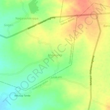
Name: Matarangi topographic map, elevation, terrain.
Location: Matarangi, Rona taluku, Gadag district, Karnataka, India (15.70217 76.01670 15.74217 76.05670)
Average elevation: 665 m
Minimum elevation: 640 m
Maximum elevation: 688 m