
Rarotonga topographic map
Interactive map
Click on the map to display elevation.
About this map
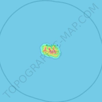
Name: Rarotonga topographic map, elevation, terrain.
Location: Rarotonga, Cook Islands (-21.47248 -160.03797 -20.99919 -159.51727)
Average elevation: 3 m
Minimum elevation: 0 m
Maximum elevation: 502 m
Topographic map
Other topographic maps
Click on a map to view its topography, its elevation and its terrain.
Mauke
Cook Islands > Mauke > Kimiangatau
Mauke, Kimiangatau, Mauke, Cook Islands
Average elevation: 10 m
Palmerston Island
Palmerston Island, Palmerston, Cook Islands
Average elevation: 0 m