
Lake Rotongata (Mirror Lake) topographic map
Interactive map
Click on the map to display elevation.
About this map
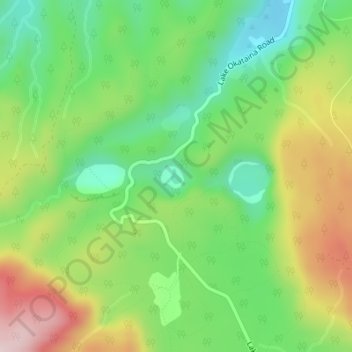
Name: Lake Rotongata (Mirror Lake) topographic map, elevation, terrain.
Average elevation: 432 m
Minimum elevation: 289 m
Maximum elevation: 644 m
Other topographic maps
Click on a map to view its topography, its elevation and its terrain.
Lake Ngawhero
New Zealand > Bay of Plenty > Ruato
Lake Ngawhero, Curtis Road, Ruato, Rotorua District, Bay of Plenty, New Zealand
Average elevation: 309 m