
Lilburn topographic map
Interactive map
Click on the map to display elevation.
About this map
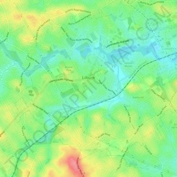
Name: Lilburn topographic map, elevation, terrain.
Location: Lilburn, Gwinnett County, Georgia, USA (33.86505 -84.16771 33.90904 -84.10881)
Average elevation: 291 m
Minimum elevation: 259 m
Maximum elevation: 342 m