
Sclayn topographic map
Interactive map
Click on the map to display elevation.
About this map
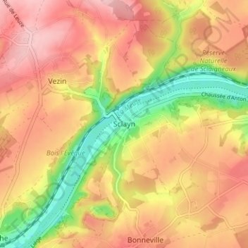
Name: Sclayn topographic map, elevation, terrain.
Location: Sclayn, Andenne, Namen, Wallonië, 5300, België (50.46971 5.00847 50.50971 5.04847)
Average elevation: 154 m
Minimum elevation: 61 m
Maximum elevation: 218 m