
Tinn topographic map
Interactive map
Click on the map to display elevation.
About this map
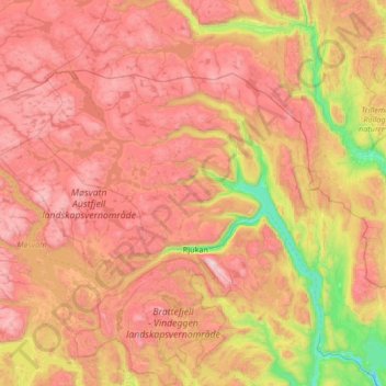
Name: Tinn topographic map, elevation, terrain.
Location: Tinn, Vestfold og Telemark, Norway (59.76207 7.85336 60.18827 9.19259)
Average elevation: 954 m
Minimum elevation: 143 m
Maximum elevation: 1,849 m
Other topographic maps
Click on a map to view its topography, its elevation and its terrain.
Finnmark
Finnmark, Bamble, Vestfold og Telemark, 3967, Norway
Average elevation: 38 m