
Stevens County topographic map
Interactive map
Click on the map to display elevation.
About this map
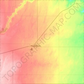
Name: Stevens County topographic map, elevation, terrain.
Location: Stevens County, Kansas, USA (36.99541 -101.55809 37.38872 -101.06661)
Average elevation: 946 m
Minimum elevation: 869 m
Maximum elevation: 1,016 m
Other topographic maps
Click on a map to view its topography, its elevation and its terrain.
Lake Jeanette
USA > Kansas > Leavenworth
Lake Jeanette, Lakeside Drive, Leavenworth, Leavenworth County, Kansas, 66043, USA
Average elevation: 253 m
Independence
USA > Kansas > Independence
Independence, Montgomery County, Kansas, 67301, USA
Average elevation: 245 m