
Lake Wherowhero topographic map
Interactive map
Click on the map to display elevation.
About this map
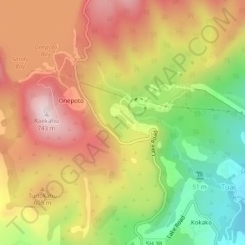
Name: Lake Wherowhero topographic map, elevation, terrain.
Average elevation: 504 m
Minimum elevation: 248 m
Maximum elevation: 726 m
Other topographic maps
Click on a map to view its topography, its elevation and its terrain.
Lake Kaitawa
Lake Kaitawa, Kaitawa Road, Onepoto, Wairoa District, Hawke's Bay, New Zealand
Average elevation: 506 m