
Woodville topographic map
Interactive map
Click on the map to display elevation.
About this map
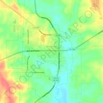
Name: Woodville topographic map, elevation, terrain.
Location: Woodville, Tyler County, Texas, USA (30.75368 -94.44028 30.79620 -94.40801)
Average elevation: 84 m
Minimum elevation: 57 m
Maximum elevation: 120 m