
Raqqa topographic map
Interactive map
Click on the map to display elevation.
About this map
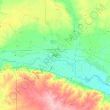
Name: Raqqa topographic map, elevation, terrain.
Average elevation: 287 m
Minimum elevation: 229 m
Maximum elevation: 401 m
Other topographic maps
Click on a map to view its topography, its elevation and its terrain.
Mansoura
Mansoura, Al-Mansurah Subdistrict, Al-Thawrah District, Ar-Raqqah Governorate, Syria
Average elevation: 272 m