
Taiping Ling topographic map
Interactive map
Click on the map to display elevation.
About this map
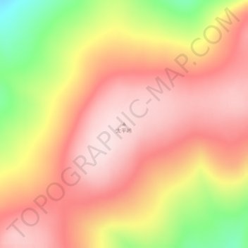
Name: Taiping Ling topographic map, elevation, terrain.
Average elevation: 1,511 m
Minimum elevation: 1,303 m
Maximum elevation: 1,625 m
Other topographic maps
Click on a map to view its topography, its elevation and its terrain.
Hulunbuir
PRC > Inner Mongolia > Hulunbuir
Hulunbuir, Hailar District, Hulunbuir, Inner Mongolia, 021000, PRC
Average elevation: 643 m
Greater Khingan Mountain Range
Greater Khingan Mountain Range, Zalantun City, Hulunbuir, Inner Mongolia, PRC
Average elevation: 1,514 m