
Kanra District topographic map
Interactive map
Click on the map to display elevation.
About this map
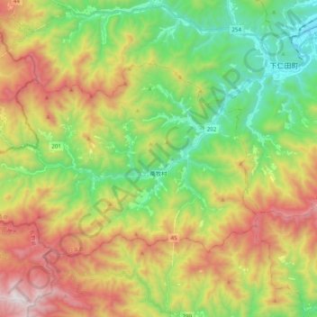
Name: Kanra District topographic map, elevation, terrain.
Location: Nanmoku, Kanra District, Gunma Prefecture, Kanto, Japan (36.11652 138.57727 36.21463 138.77298)
Average elevation: 791 m
Minimum elevation: 200 m
Maximum elevation: 1,657 m
Other topographic maps
Click on a map to view its topography, its elevation and its terrain.
Tone River
Japan > Gunma Prefecture > Itakura
Tone River, Itakura, Ora District, Gunma Prefecture, Kanto, 3770201, Japan
Average elevation: 447 m