
Clarkston topographic map
Interactive map
Click on the map to display elevation.
About this map
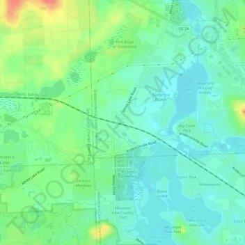
Name: Clarkston topographic map, elevation, terrain.
Location: Clarkston, Oakland County, Michigan, 48327:48329, USA (42.68864 -83.45966 42.72864 -83.41966)
Average elevation: 308 m
Minimum elevation: 289 m
Maximum elevation: 353 m