
Merkle Wildlife Sanctuary Natural Resource Management Area topographic map
Interactive map
Click on the map to display elevation.
About this map
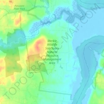
Name: Merkle Wildlife Sanctuary Natural Resource Management Area topographic map, elevation, terrain.
Average elevation: 13 m
Minimum elevation: -5 m
Maximum elevation: 44 m