
Dobson topographic map
Interactive map
Click on the map to display elevation.
About this map
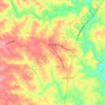
Name: Dobson topographic map, elevation, terrain.
Location: Dobson, Surry County, North Carolina, USA (36.37567 -80.78810 36.40551 -80.70461)
Average elevation: 351 m
Minimum elevation: 291 m
Maximum elevation: 396 m