
Anzac topographic map
Interactive map
Click on the map to display elevation.
About this map
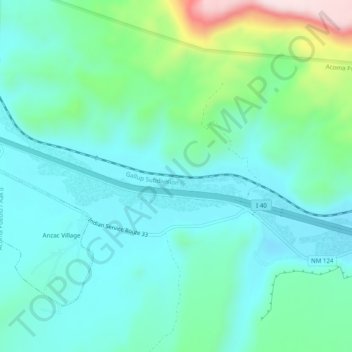
Name: Anzac topographic map, elevation, terrain.
Location: Anzac, Cibola County, New Mexico, USA (35.04865 -107.74672 35.08865 -107.70672)
Average elevation: 1,976 m
Minimum elevation: 1,889 m
Maximum elevation: 2,288 m