
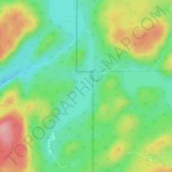
Bulrush Lake topographic map
Interactive map
Click on the map to display elevation.
About this map
Name: Bulrush Lake topographic map, elevation, terrain.
Average elevation: 332 m
Minimum elevation: 278 m
Maximum elevation: 420 m
Other topographic maps
Click on a map to view its topography, its elevation and its terrain.
Spider Lakes
Canada > Ontario > Unorganized North Algoma
Spider Lakes, Carp Road, Unorganized North Algoma, Algoma District, Ontario, Canada
Average elevation: 543 m