
Ambadie topographic map
Interactive map
Click on the map to display elevation.
About this map
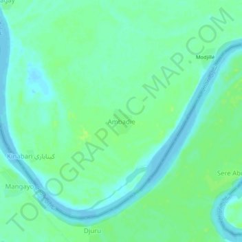
Name: Ambadie topographic map, elevation, terrain.
Location: Ambadie, Hadjer-Lamis, Chad (12.74167 14.57867 12.78167 14.61867)
Average elevation: 287 m
Minimum elevation: 281 m
Maximum elevation: 294 m