
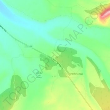
Old Homestead topographic map
Interactive map
Click on the map to display elevation.
About this map
Name: Old Homestead topographic map, elevation, terrain.
Location: Old Homestead, Jackson County, Colorado, 80473, USA (40.42026 -106.16363 40.46026 -106.12363)
Average elevation: 2,666 m
Minimum elevation: 2,616 m
Maximum elevation: 2,764 m