
Sandstone topographic map
Interactive map
Click on the map to display elevation.
About this map
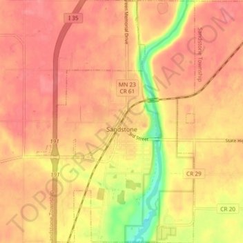
Name: Sandstone topographic map, elevation, terrain.
Location: Sandstone, Pine County, Minnesota, USA (46.10699 -92.89328 46.15806 -92.84520)
Average elevation: 332 m
Minimum elevation: 282 m
Maximum elevation: 351 m