
Bogen topographic map
Interactive map
Click on the map to display elevation.
About this map
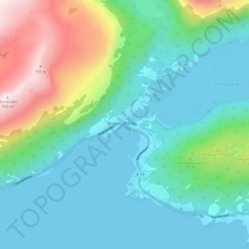
Name: Bogen topographic map, elevation, terrain.
Location: Bogen, Evenes, Nordland, 8539, Norway (68.50621 16.97668 68.54621 17.01668)
Average elevation: 190 m
Minimum elevation: 0 m
Maximum elevation: 804 m