
Strathy topographic map
Interactive map
Click on the map to display elevation.
About this map
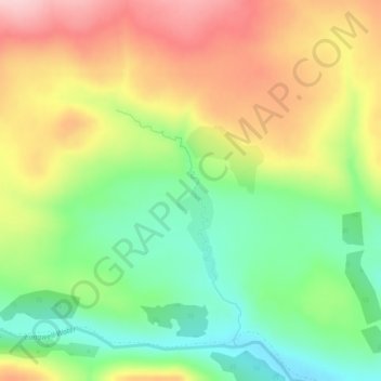
Name: Strathy topographic map, elevation, terrain.
Location: Strathy, Ousdale, Caithness, Scotland, United Kingdom (58.18688 -3.59895 58.20688 -3.57895)
Average elevation: 189 m
Minimum elevation: 94 m
Maximum elevation: 302 m