
McLean topographic map
Interactive map
Click on the map to display elevation.
About this map
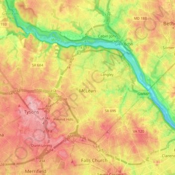
Name: McLean topographic map, elevation, terrain.
Location: McLean, Fairfax County, Virginia, 22101, United States (38.89325 -77.23304 38.97027 -77.11979)
Average elevation: 85 m
Minimum elevation: -1 m
Maximum elevation: 158 m