
Tambo topographic map
Interactive map
Click on the map to display elevation.
About this map
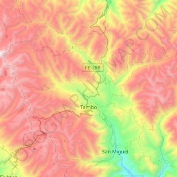
Name: Tambo topographic map, elevation, terrain.
Location: Tambo, Province of La Mar, Ayacucho, Peru (-12.99376 -74.14873 -12.83758 -73.88647)
Average elevation: 3,780 m
Minimum elevation: 2,476 m
Maximum elevation: 4,872 m