
Sanchez Mira topographic map
Interactive map
Click on the map to display elevation.
About this map
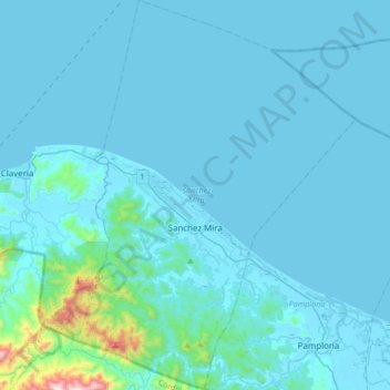
Name: Sanchez Mira topographic map, elevation, terrain.
Location: Sanchez Mira, Cagayan, Cagayan Valley, 3518, Philippines (18.42809 121.13255 18.74638 121.37257)
Average elevation: 56 m
Minimum elevation: -2 m
Maximum elevation: 967 m