
Nasanga topographic map
Interactive map
Click on the map to display elevation.
About this map
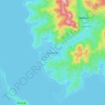
Name: Nasanga topographic map, elevation, terrain.
Location: Nasanga, Eastern, Fiji (-17.75047 178.72408 -17.67047 178.80408)
Average elevation: 64 m
Minimum elevation: -2 m
Maximum elevation: 468 m