
Tamugan River topographic map
Interactive map
Click on the map to display elevation.
About this map
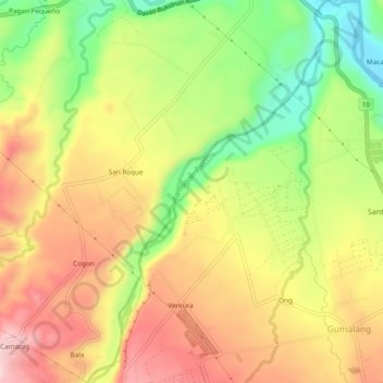
Name: Tamugan River topographic map, elevation, terrain.
Location: Tamugan River, Marilog, Davao City, Davao Region, Philippines (7.20197 125.37111 7.24921 125.40116)
Average elevation: 349 m
Minimum elevation: 198 m
Maximum elevation: 484 m
Other topographic maps
Click on a map to view its topography, its elevation and its terrain.
Tagaytay
Philippines > Davao City > Marilog
Tagaytay, Malamba, Marilog, Davao City, Davao Region, Philippines
Average elevation: 393 m