
Hampshire County topographic map
Interactive map
Click on the map to display elevation.
About this map
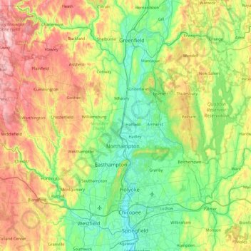
Name: Hampshire County topographic map, elevation, terrain.
Location: Hampshire County, Massachusetts, United States of America (42.18339 -73.06851 42.55604 -72.20328)
Average elevation: 243 m
Minimum elevation: 8 m
Maximum elevation: 764 m