
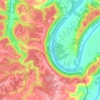
Pye topographic map
Interactive map
Click on the map to display elevation.
About this map
Name: Pye topographic map, elevation, terrain.
Location: Pye, Kenton County, Kentucky, 41015, USA (38.95333 -84.48778 38.99333 -84.44778)
Average elevation: 210 m
Minimum elevation: 138 m
Maximum elevation: 268 m