
Jo River topographic map
Interactive map
Click on the map to display elevation.
About this map
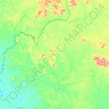
Name: Jo River topographic map, elevation, terrain.
Location: Jo River, River Cess County, Liberia (5.90292 -9.65383 6.16626 -9.25073)
Average elevation: 146 m
Minimum elevation: 49 m
Maximum elevation: 407 m