
Richmond Heights topographic map
Interactive map
Click on the map to display elevation.
About this map
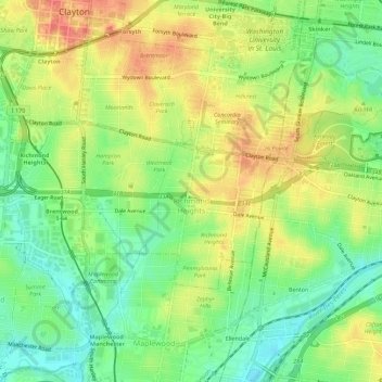
Name: Richmond Heights topographic map, elevation, terrain.
Location: Richmond Heights, St. Louis County, Missouri, USA (38.61869 -90.36228 38.64107 -90.30643)
Average elevation: 161 m
Minimum elevation: 130 m
Maximum elevation: 197 m