
Rumble topographic map
Interactive map
Click on the map to display elevation.
About this map
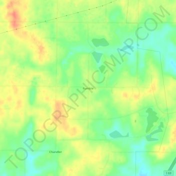
Name: Rumble topographic map, elevation, terrain.
Location: Rumble, Pike County, Indiana, USA (38.41588 -87.36279 38.45588 -87.32279)
Average elevation: 153 m
Minimum elevation: 131 m
Maximum elevation: 175 m