
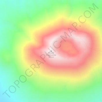
Mount Edgecumbe topographic map
Interactive map
Click on the map to display elevation.
About this map
Name: Mount Edgecumbe topographic map, elevation, terrain.
Location: Mount Edgecumbe, Sitka, Alaska, USA (57.05138 -135.75918 57.05148 -135.75908)
Average elevation: 601 m
Minimum elevation: 240 m
Maximum elevation: 1,006 m
Other topographic maps
Click on a map to view its topography, its elevation and its terrain.