
Montpelier topographic map
Interactive map
Click on the map to display elevation.
About this map
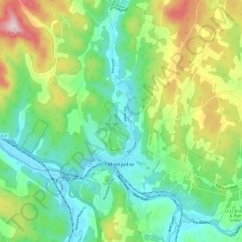
Name: Montpelier topographic map, elevation, terrain.
Location: Montpelier, Washington County, Vermont, 05602, USA (44.23492 -72.61245 44.31331 -72.52509)
Average elevation: 284 m
Minimum elevation: 152 m
Maximum elevation: 564 m