
Local Government District of Mystery Lake topographic map
Interactive map
Click on the map to display elevation.
About this map
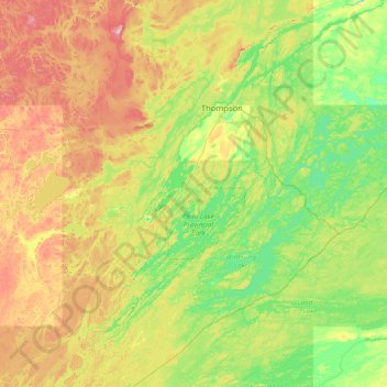
Name: Local Government District of Mystery Lake topographic map, elevation, terrain.
Location: Local Government District of Mystery Lake, Manitoba, Canada (55.11151 -98.69361 55.98402 -97.20745)
Average elevation: 220 m
Minimum elevation: 168 m
Maximum elevation: 337 m
Other topographic maps
Click on a map to view its topography, its elevation and its terrain.