
Lyford topographic map
Interactive map
Click on the map to display elevation.
About this map
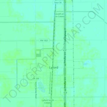
Name: Lyford topographic map, elevation, terrain.
Location: Lyford, Willacy County, Texas, 78569, United States (26.39710 -97.80268 26.43803 -97.77715)
Average elevation: 12 m
Minimum elevation: 8 m
Maximum elevation: 14 m