
Awakeri topographic map
Interactive map
Click on the map to display elevation.
About this map
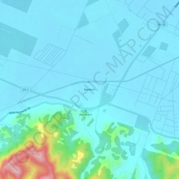
Name: Awakeri topographic map, elevation, terrain.
Average elevation: 31 m
Minimum elevation: 3 m
Maximum elevation: 216 m
Other topographic maps
Click on a map to view its topography, its elevation and its terrain.
Lake Otumahi
New Zealand > Bay of Plenty > Awakeri
Lake Otumahi, State Highway 30, Awakeri, Whakatane District, Bay of Plenty, 3192, New Zealand
Average elevation: 40 m