
Mamaku topographic map
Interactive map
Click on the map to display elevation.
About this map
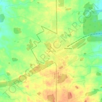
Name: Mamaku topographic map, elevation, terrain.
Location: Mamaku, Rotorua District, Bay of Plenty, New Zealand (-38.11596 176.05349 -38.07596 176.09349)
Average elevation: 572 m
Minimum elevation: 544 m
Maximum elevation: 596 m