
Cameron County topographic map
Interactive map
Click on the map to display elevation.
About this map
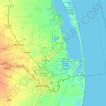
Name: Cameron County topographic map, elevation, terrain.
Location: Cameron County, Texas, United States of America (25.83706 -97.86234 26.41423 -97.07652)
Average elevation: 6 m
Minimum elevation: -3 m
Maximum elevation: 25 m
Other topographic maps
Click on a map to view its topography, its elevation and its terrain.
Lake Medina Highlands
United States of America > Texas > Lakehills > Lake Medina Highlands
Average elevation: 344 m