
Renwick topographic map
Interactive map
Click on the map to display elevation.
About this map
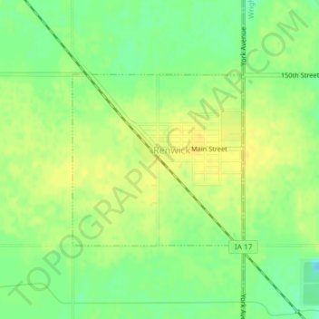
Name: Renwick topographic map, elevation, terrain.
Location: Renwick, Humboldt County, Iowa, United States of America (42.81967 -93.99119 42.83420 -93.97146)
Average elevation: 347 m
Minimum elevation: 333 m
Maximum elevation: 355 m