
Lismore topographic map
Interactive map
Click on the map to display elevation.
About this map
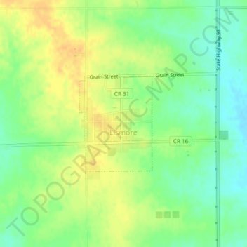
Name: Lismore topographic map, elevation, terrain.
Location: Lismore, Nobles County, Minnesota, United States of America (43.74347 -95.95395 43.75391 -95.94287)
Average elevation: 510 m
Minimum elevation: 495 m
Maximum elevation: 524 m