
Botanical gardens topographic map
Interactive map
Click on the map to display elevation.
About this map
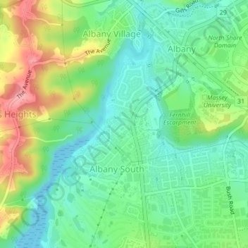
Name: Botanical gardens topographic map, elevation, terrain.
Average elevation: 39 m
Minimum elevation: 0 m
Maximum elevation: 112 m
Other topographic maps
Click on a map to view its topography, its elevation and its terrain.
Waitemata Harbour
New Zealand > Auckland > Upper Harbour
Waitemata Harbour, Upper Harbour, Auckland, New Zealand
Average elevation: 40 m