
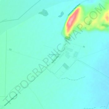
Rotherham topographic map
Interactive map
Click on the map to display elevation.
About this map
Name: Rotherham topographic map, elevation, terrain.
Location: Rotherham, Hurunui District, Canterbury, 7379, New Zealand (-42.71748 172.92266 -42.67748 172.96266)
Average elevation: 188 m
Minimum elevation: 167 m
Maximum elevation: 292 m
Canterbury trails, hiking, mountain biking, running and outdoor activities