
Bealey Spur topographic map
Interactive map
Click on the map to display elevation.
About this map
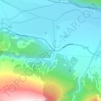
Name: Bealey Spur topographic map, elevation, terrain.
Location: Bealey Spur, Selwyn District, Canterbury, New Zealand (-43.04981 171.61115 -43.00981 171.65115)
Average elevation: 767 m
Minimum elevation: 585 m
Maximum elevation: 1,415 m