
Tangowahine topographic map
Interactive map
Click on the map to display elevation.
About this map
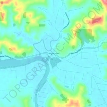
Name: Tangowahine topographic map, elevation, terrain.
Location: Tangowahine, Kaipara District, Northland, New Zealand (-35.88818 173.91316 -35.84818 173.95316)
Average elevation: 24 m
Minimum elevation: -2 m
Maximum elevation: 118 m