
Thank you for supporting this site ❤️
Make a donation
Make a donation
Effingham County topographic map
Click on the map to display elevation.
Thank you for supporting this site ❤️
Make a donation
Make a donation
About this map
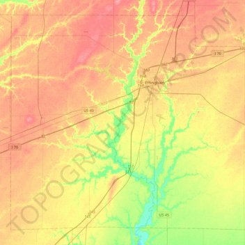
Name: Effingham County topographic map, elevation, terrain.
Location: Effingham County, Illinois, United States of America (38.91088 -88.80772 39.21585 -88.36062)
Average elevation: 178 m
Minimum elevation: 137 m
Maximum elevation: 209 m
Thank you for supporting this site ❤️
Make a donation
Make a donation